
Walk a Prescott Street Record
A reliable street-by-street search moves from place to name, then from name to dated proof. The Yavapai County Interactive Map is the switchboard. Its address result supplies the parcel number, physical or situs address, indexed owner, legal geography, sales, permits, tax links, and districts. That one result creates the keys needed for the Recorder index and older sources. It still does not prove who sleeps at the address. Ownership, billing, and occupancy are separate facts.
- Enter the street number, direction when needed, and road name in Property Search. Omit Prescott, Arizona, and the ZIP code.
- Record the situs address, owner, APN, subdivision, and any current acquisition reference. Check that the map zooms to the intended parcel.
- Open Recorded Documents & Sales. Note the seller, deed type, date, docket and page or reception number, and any blue document link.
- Use the seller as an earlier grantee in the Recorder index. Match the legal description and date before accepting the link.
- For an older occupant, compare the address with the 1963 criss-cross directory, alphabetical editions, census schedules, and archive material.
This sequence keeps the Prescott street directory tied to evidence. If a parcel split or combined, Parcel History can reveal ancestor, sibling, and descendant parcels. If a street name returns several segments, choose the correct postal community before clicking parcels. An authorized voter-file recipient may use address and precinct fields only within the purposes allowed by Arizona law; the voter file is not a general public step in this workflow.
Search Prescott Streets in GIS
Property Search accepts one address, parcel number, or owner. A whole road takes a different route: choose Location Search, select Roads, enter a full or partial street name with its direction when needed, and pick the right segment. The map then supports parcel clicks, Identify/Select, print views, measuring, layers, and CSV export. Roads, parcels, and lots update daily, while some business attributes may lag by weeks. The mapped boundary is fitted from deeds and is not a survey-grade line.
| Search mode | Input | Format or use |
|---|---|---|
| Address | Number, optional direction, road | Leave out city, state, and ZIP |
| Parcel Number | Eight digits, possible suffix | Dashed or undashed APN accepted |
| Owner Name | Last name, then first | Partial first name is allowed |
| Subdivision or Lot | Name, block if used, lot | Sort results by APN or owner |
| Location Search | Road, city, district, ZIP, or other geography | Highlights the chosen mapped feature |
The official parcel-map help explains each control and result panel. Search suggestions reduce spelling mistakes, but the correct parcel still needs a visual check. The same road name can point to more than one segment.
Note: The DOR check digit shown with tax data is separate from the APN and should not be inserted into a parcel search.
Read Prescott Parcel Records
The parcel sheet is dense because it combines several public systems. Its Owner panel may show the indexed owner, billing address, deed suffix, recorded-document links, and sales. The Parcel panel holds the situs address, APN, acreage, subdivision, map type, and zoning. Area data can add the incorporated area, section-township-range, tract, quadrangle, mining claim, and special districts. Improvements may include sketches and floor area. Those sketches do not prove that work was permitted.
The street directory distinction that matters most is simple: a tax mailing address is a billing destination, while the situs is the physical location of the parcel. A nonresident owner can receive tax mail elsewhere. Arizona's automatic homestead creditor protection is also not an owner-occupancy box on the parcel record. Even the GIS label “Homestead Entry Survey” refers to federal land history, not present residence.
The Yavapai County Assessor page shows the public office behind the property data.
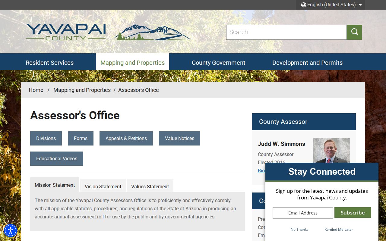
That office is the correction point for assessment facts, while the Recorder handles recorded-document indexing. The Assessor can also be reached at 1015 Fair Street or 928-771-3220 when the map is not enough.
Prescott Records Keyed by Address
No single roll answers every street question. The modern Prescott street directory is built by comparing sources that index different events and people. Parcel and GIS records are open online. Recorder images have a stated online boundary. Permit discovery is split between the county map and the city request path. Historical directories cover only listed people or entities in the editions that survive.
| Address source | Keeper | What it can show | Access and limit |
|---|---|---|---|
| Assessment roll | Yavapai Assessor/GIS | Owner, tax mail, situs, value, improvements | Free search; owner is not proof of occupant |
| Parcel map | Yavapai GIS | Road parcels, jurisdiction, zoning, districts, sales | Free map, select, buffer, and export |
| Recorded documents | Yavapai Recorder | Grantor, grantee, instrument, date, legal parcel | Index and images from 1976; older office fallback |
| Permits | Prescott or Yavapai County | Work type, date, sometimes applicant or contractor | GIS mostly mid-2000s onward; city request fallback |
| 1963 criss-cross | Archive and catalog sources | Listed subscriber or occupant by address | Covered edition only; not all household members |
| Voter file | County Recorder | Permitted address and precinct fields | Restricted statutory purposes, not open browsing |
A result gains weight when keys agree. Match the APN and legal description between GIS and a deed. Match the printed address and edition year between a criss-cross line and an alphabetical entry. Do not merge a tax owner and listed occupant merely because each appears beside the same address.
Link Prescott Streets to Deeds
The Yavapai Recorded Documents Search indexes deeds, mortgages, deeds of trust, trusts, plats, surveys, and other instruments. Its search index is a guide, much like a library catalog. Spellings can vary. A legal-description search is chiefly for maps, plats, and mining claims, not a shortcut that builds a title chain.
GIS sales fields can include account and parcel numbers, owner, seller, sale date and price, docket, page, deed type, document date, validation flags, and reception number. A blue reference may open a document. Some rows have no link, and not every recorded transfer must appear in the sales panel. Verify the actual instrument before drawing a conclusion about the Prescott address.
- Parcel
- A mapped unit of land identified by an assessor parcel number, or APN.
- Situs address
- The physical location assigned to the parcel, separate from the owner's tax mailing address.
- Plat
- A recorded map that lays out a subdivision, lots, blocks, roads, or survey boundaries.
- Grantor and grantee
- The party giving an interest and the party receiving it in a recorded instrument.
- Criss-cross directory
- An address-first directory that reverses a printed street location to a listed subscriber or occupant.
Prescott Recorder Search Limits
Online unofficial images reach 1976 to the present. Older deeds require office indexes, books, microfilm, or a specific copy request. The Recorder will not perform open-ended research by address, legal description, or parcel number and will not build a chain of title. Staff need at least a party and a specific date for a search attempt, which may take up to seven working days.
A copy request identifies the document type and date, names and party roles, then supplies book and page for records before January 1, 2014 or a reception number after December 31, 2013. Ordinary copies cost $1 per page, with $3 for certification. Mail requests require advance payment and a large enough self-addressed stamped envelope. The street-directory workflow solves the office's search limit by gathering names and references from GIS first.
Note: Search spelling variants and match the legal description because the Recorder expressly treats its index as a finding aid, not title proof.
Date Prescott Street Changes
Permit records help date work along a Prescott street. County GIS has a Permits panel with City of Prescott and Yavapai permit data, mostly from the mid-2000s onward. It may show work type, timing, and sometimes an applicant or contractor. Missing map data does not prove that no permit exists. The panel is useful but incomplete.
The city's published categories include accessory structures, additions, demolition, electrical work, fences and walls, manufactured structures, mechanical work, and photovoltaic systems. Prescott notes that a permit creates a record valuable to future owners. The applicant portal manages plans, corrections, fees, and inspections, while older or absent records may need a focused request through the City Clerk's public-record channel.
The Prescott building-permit categories identify the types of work that may leave address evidence.
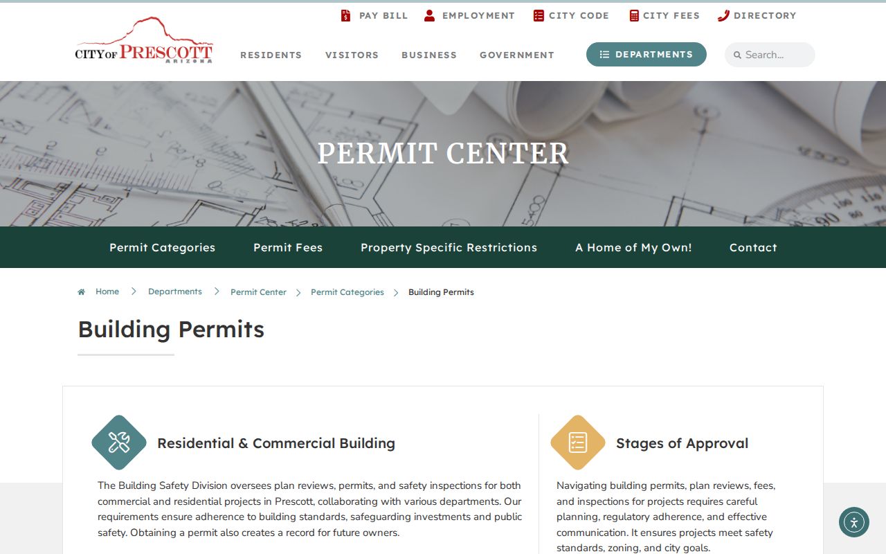
The category list helps frame a precise request by address, date range, and work type instead of asking the city to research an entire street without limits.
Reverse Old Prescott Addresses
Luskey's Prescott Criss Cross from 1963 is the strongest verified address-first historical source. Search its street section, record the listed subscriber or occupant, and then check the alphabetical entry. Compare the name with nearby directory editions. A listed person can be an occupant while the assessor's owner lives elsewhere, so directory occupancy and parcel ownership describe different populations.
For older house numbers, use the October 1890 Prescott Sanborn map, later cataloged editions, subdivision maps, and legal descriptions. Sanborn sheets show footprint, building material, height or use, openings, roof, street or block numbers, boundaries, and fire infrastructure. They can bridge a changed number and date a structure. They do not identify an occupant. No authoritative citywide Prescott renumbering year was established.
Full collection details belong to the Prescott city directory record, where the surviving editions and their access points can be compared without turning the street search into a full archive inventory.
Map Prescott Street Jurisdiction
A Prescott mailing line does not prove that a parcel lies inside the incorporated city. Yavapai County's Addressing Unit assigns or changes physical addresses, new street names, and conflicting names in its jurisdiction. Inside the city, confirm responsibility with Prescott planning. GIS layers for Incorporated Area, zoning, and districts show which office should hold a permit or land-use record.
The Whipple Heights and Joslin area shows why jurisdiction dates matter. The landscape includes the original cemetery, a 1908 addition, 1924 and 1926 subdivision work, and the later Joslin-Whipple plat. Land there was annexed in September 1925. County or subdivision evidence can therefore predate city files for the same modern Prescott area. Keep the situs, mailing label, and legal description separate throughout the search.
Prescott Voter Street Boundaries
The Arizona Voter Information Portal lets a voter confirm their own registration, districts, notices, ballot status, and participation history. It is not an open name-and-address browser. Under A.R.S. §16-168, a precinct register or file may expose certain names, addresses, party, status, and district fields only for specified political, election, redistricting, or otherwise authorized purposes. Voting history lists elections participated in, never ballot choices.
Month and day of birth, Social Security and driver identifiers, tribal census number, birthplace, signature, and email stay confidential. Protected voters and Address Confidentiality Program participants have further safeguards. County-specific requests go to Yavapai voter registration at 1015 Fair Street, 928-771-3244 option 6, with an attested lawful purpose. Unauthorized use, transfer, or online release can carry criminal penalties. A street directory must never imply open voter browsing.
Lawful use. Use Prescott address records for lawful personal, family-history, property, or civic research. Never use them to stalk, harass, intimidate, or harm anyone.
Limits of Prescott Street Records
Public property records do not enumerate renters, relatives, guests, or other household members. A deed identifies parties to a transaction, not everyone at the site. A permit documents work. Sanborn maps document buildings. Directory editions list only the people or businesses captured by that publisher at that time. Ordinary utility and delivery customer data are not open resident lists, and motor-vehicle personal data is restricted by federal law.
Protected addresses may also disappear from online Recorder, Assessor, or voter displays. Arizona's Address Confidentiality Program supplies a substitute address to qualifying participants, while separate statutes allow eligible people to seek protection for specific public records. A blank or suppressed result is a boundary, not an invitation to reconstruct private information from unrelated clues.
The best Prescott street directory result is therefore narrow and dated: a parcel owner as of the assessment record, named deed parties on a recording date, a listed occupant in a given directory edition, or permitted work tied to a stated period. Those findings answer real questions without turning inference into fact.