
Verified Prescott Postal Areas
Four codes have clear official evidence for current Prescott use. The core delivery areas are 86301, 86303, and 86305. The fourth, 86313, belongs to the Bob Stump VA Medical Center and is not a general neighborhood. Other codes are often associated with Prescott in informal lists, but their present USPS status, facility, or preferred-city boundaries were not verified in the research. The Prescott postal directory therefore labels those claims for address-level checking instead of presenting them as settled.
| Postal Code | Areas Covered | Post Office | Notes |
|---|---|---|---|
| 86301 | North, east, and central postal Prescott | Prescott Post Office | Delivery extends beyond some city areas |
| 86303 | Downtown, south, southeast, and mountain delivery | Goodwin Station | Active delivery code |
| 86305 | West, northwest, and broad rural postal Prescott | Not verified | Active use shown by county addresses |
| 86313 | VA medical center | Bob Stump VA Medical Center | Unique institutional ZIP |
| 86302, 86304, 86312 | Reported Prescott postal uses | Not verified | Confirm each address through USPS |
Postal coverage is not a civic roll. A code can cross the city line, carry a Prescott mailing name into a county area, or serve one institution. Census ZCTAs are useful statistical approximations, but the Census Bureau defines them as generalized versions of USPS service areas. Use USPS for mail validity and Yavapai GIS for parcel jurisdiction.
Prescott ZIP Code 86301
ZIP 86301 is the principal delivery geography for north, east, and central Prescott, including some postal Prescott beyond incorporated limits. The official Prescott Post Office listing identifies the facility at 442 Miller Valley Road. That source confirms the station and code, while the county map supplies the separate city-boundary test.
Open the USPS 86301 facility record before viewing the Prescott postal directory image.
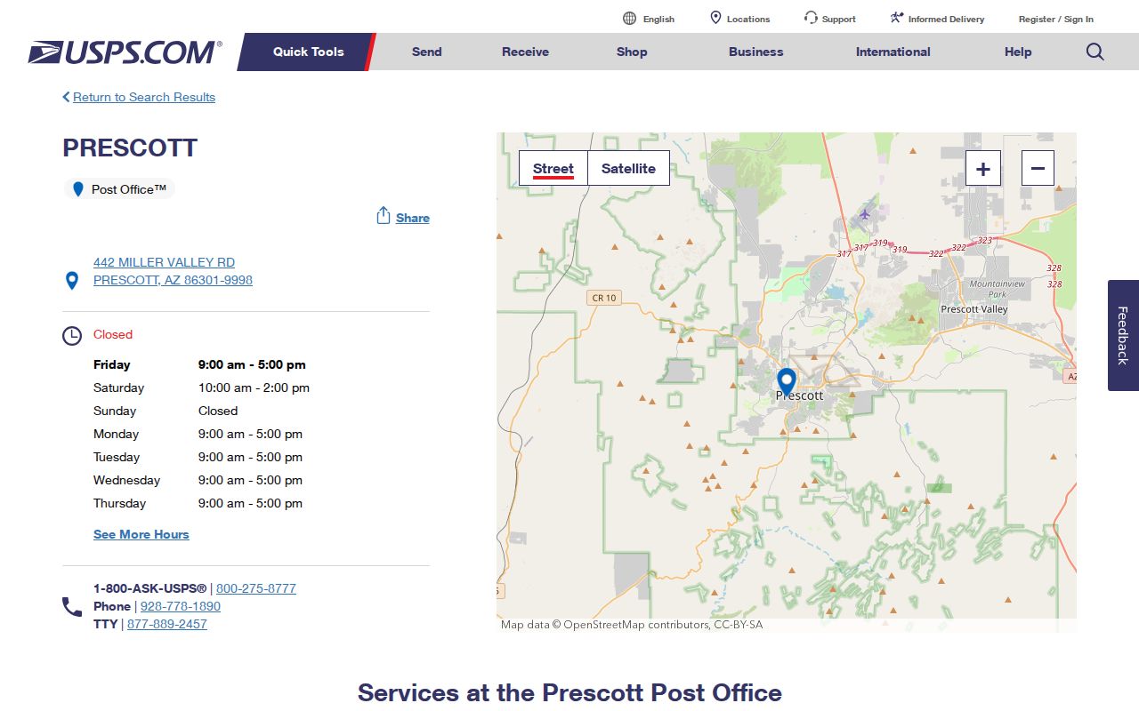
The station result verifies postal service. It does not certify that every address using 86301 lies within Prescott city government.
Check each parcel before choosing a city or county office.
Prescott ZIP Code 86303
ZIP 86303 covers downtown, southern and southeastern Prescott delivery, plus mountain-area addresses. Its official facility is Goodwin Station at 101 W. Goodwin Street, Suite 103. A downtown postal association may be intuitive, but south and mountain delivery shows why a postal directory cannot be reduced to one neighborhood name.
Consult the official Goodwin Station page with the Prescott postal directory capture below.
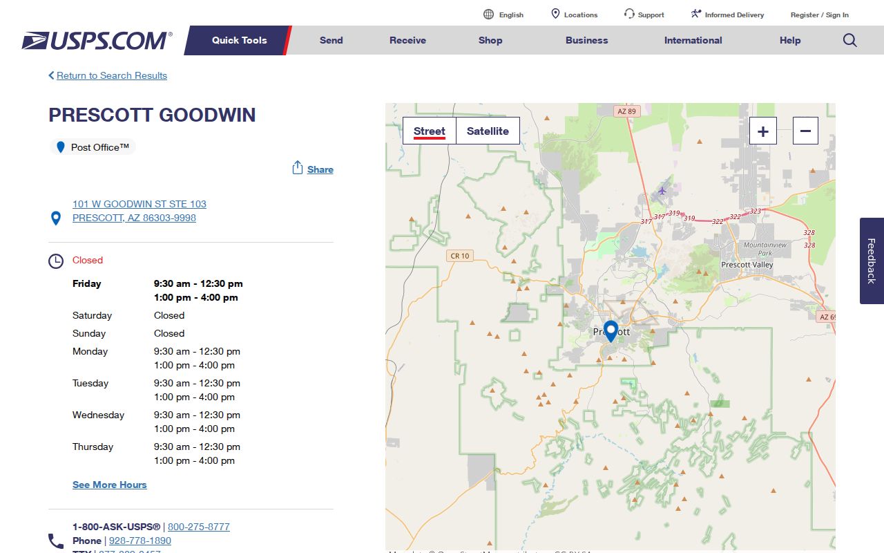
The USPS listing confirms an active facility and code. Parcel-level geography still comes from the county map.
Prescott Unique Postal Area 86313
ZIP 86313 is assigned to the Bob Stump Department of Veterans Affairs Medical Center. The VA location record identifies the institution at 500 Highway 89 North. It is a unique ZIP, which means the code serves a single large organization rather than a normal residential delivery area.
Review the VA's official location details before using the Prescott postal directory image.
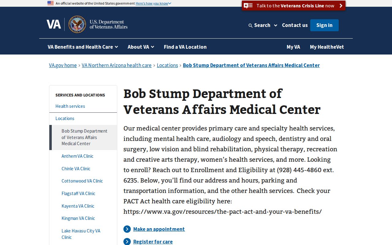
Do not treat 86313 as a block of private households. It represents an institutional postal population.
Prescott ZIP Code 86305
ZIP 86305 serves west and northwest Prescott postal geography and extends through broad lower-density or rural areas. Official county offices at 1015 Fair Street use the code, which confirms active Prescott use. The research did not locate an authoritative USPS station page for that code, so no facility name is assigned here. That gap is a reason to validate a particular street through USPS rather than infer a delivery office.
The city-limit question is separate. Open the county map, locate the parcel, and inspect the Incorporated Area field or city layer. Then retain the parcel's situs, subdivision, and district context. A property can use a Prescott postal name while local planning, permits, or services remain county based.
For records research, save both the validated mailing form and the parcel result. One supports postal delivery; the other establishes physical and civic geography. Neither alone identifies every resident at the address. That check keeps the custody route clear.
Three reported codes need even more care. Codes 86302 and 86304 are described as Prescott PO-box codes in nonauthoritative lists, while 86312 carries a Prescott mailing association east and northeast toward Prescott Valley. Their exact current facility status and preferred-city limits were not verified. The safe workflow is address first: confirm the USPS result, then place the physical parcel in GIS, and only then choose the right records custodian.
Search Prescott Postal Geography
The Yavapai Interactive Map has a dedicated postal-code category under Location Search. Enter a full or partial code, select the matching result, and the viewer zooms to and highlights that postal geography. The tool can then display incorporated-area, road, parcel, district, and other layers. Its simple Property Search is different: official instructions say to enter the street number and road name while omitting city, state, and ZIP.
- Validate the address through USPS when the exact postal code is uncertain.
- Open Yavapai GIS and choose Location Search, then its postal-code category.
- Select the matching code and compare its highlighted area with the Incorporated Area or City layer.
- Click a relevant parcel and distinguish situs, tax mailing address, and legal description before drawing a conclusion.
Once a code is narrowed to a road, the Prescott street directory explains the address-level parcel and deed chain. Arizona voter data is not a general ZIP browser. The self-service portal authenticates a voter's own record, while broader voter-file access is limited to purposes named in A.R.S. §16-168.
Read the county's official ZIP Location Search help before viewing the matching screen.
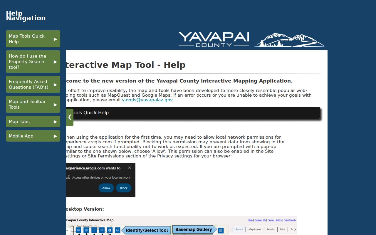
The help page confirms ZIP as a map-location mode, not a documented field in the basic address search.
| Map mode | Input | Result |
|---|---|---|
| Location Search: ZIP Code | Full or partial code | Highlighted postal geography |
| Property Search: Address | Number, direction, road name | Matching parcel result |
| Location Search: Road | Full or partial street | Road segment in chosen community |
Three Prescott Address Geographies
Every address search should preserve three keys. The situs address is the physical location shown by GIS and the assessor. The mailing address is where a tax bill or correspondence goes, and it can be elsewhere. The legal description identifies land by lot, block, subdivision, survey, or metes and bounds in recorded documents. ZIP belongs to the mailing system, not the legal description.
This distinction prevents two common errors. A tax mailing destination does not prove that the owner occupies the parcel. A Prescott postal line does not prove municipal residence. Permit searches also depend on jurisdiction, while deeds depend on legal geography. Each key answers a different question.
The Assessor parcel number adds a durable fourth reference for record work. In Yavapai County, it uses a three-digit book, two-digit map, and three-character parcel, sometimes followed by a suffix letter. The separate Department of Revenue check digit is not part of the APN. Subdivision, block, lot, section-township-range, tract, and recorded-map references can also locate land when a postal address is weak or has changed.
Map check. Use the ZIP highlight and incorporated-city layer together before calling an address part of Prescott city.
Prescott ZIP and Annexation Layers
Historic growth explains some city-versus-postal mismatches. The Citizen's Cemetery, Smoki, and Armory vicinity includes the original 1864 cemetery, the 1908 Whipple Heights Addition, Joslin subdivisions from the 1920s, and Joslin-Whipple from 1935. Land in that area was annexed in September 1925. A parcel can therefore appear in county or subdivision records before it enters city records.
That local geography is more useful than forcing a modern ZIP backward through time. For older address work, use subdivision names, recorded maps, Sanborn sheets, and the parcel's legal description. Postal codes, later annexation, and historic house numbers belong to different record eras.
Note: No verified citywide Prescott ZIP split, realignment year, or street-number reset was established in the source research.
The Yavapai County Addressing Unit assigns or changes physical addresses, new street names, and conflicting or duplicate names in county jurisdiction. Inside incorporated Prescott, city planning authority must be confirmed. This split is another reason a postal code cannot choose the custodian. Use the incorporated-area layer first, then direct an address or permit question to the office responsible for that parcel.
Prescott ZIP and City Limits
ZIP geography is designed for delivery. Prescott's city boundary is a municipal line, and Yavapai parcels carry still more geography through subdivisions, districts, and surveys. A Prescott mailing address may lie beyond the incorporated city. ZCTAs 86301 and 86303 are Census approximations and are not exact USPS service boundaries. The Prescott postal directory therefore treats postal name, city government, and parcel location as separate facts.
- ZIP and ZIP+4
- A five-digit delivery area and its finer four-digit delivery segment.
- PO-box ZIP
- A code used chiefly or only for post-office boxes, subject to USPS verification.
- Unique ZIP
- A code assigned to one high-volume institution, such as the VA medical center.
- Carrier route
- A postal delivery path within a code, not a municipal or parcel boundary.
Codes 86302 and 86304 are reported as Prescott PO-box codes, while 86312 is reported with a Prescott mailing name east toward Prescott Valley. The authoritative facility status and exact preferred-city limits were not confirmed, so validate a specific address rather than inferring a neighborhood from those labels.